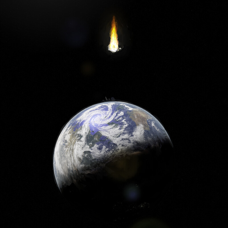
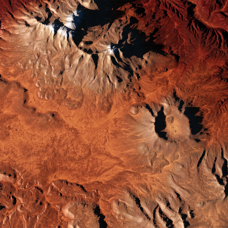
Chachani Mountain Reimagined
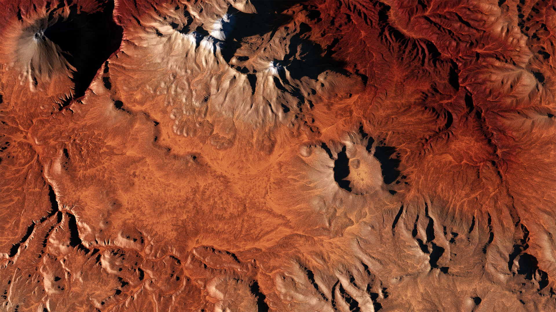
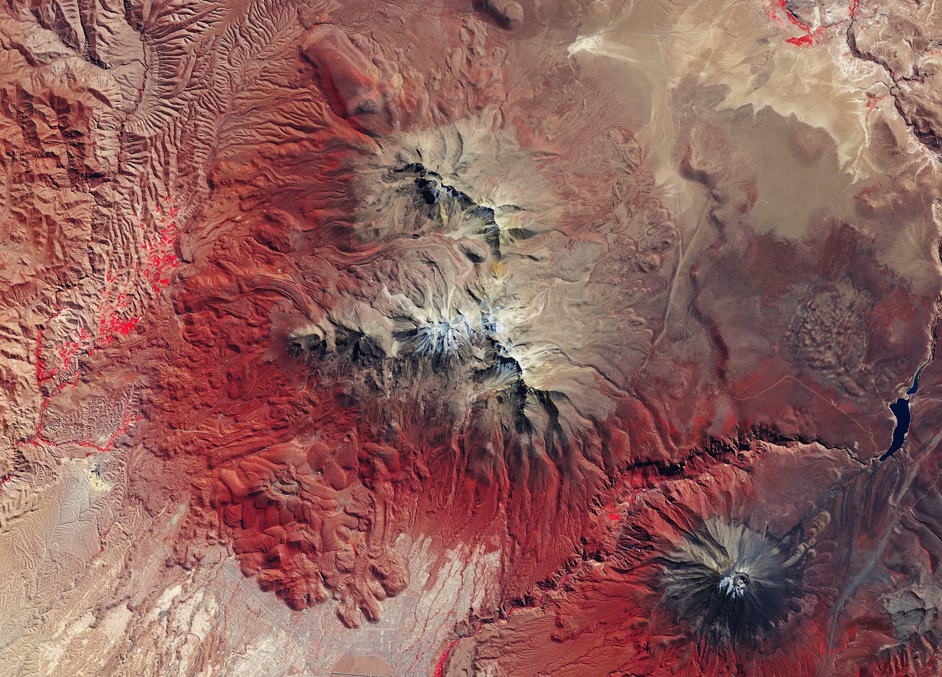
Credit: European Space Agency
The objective here was to take an ESA false-colour image and turn it into a realistic terrain inspired by the utterly unrealistic colours in the original.
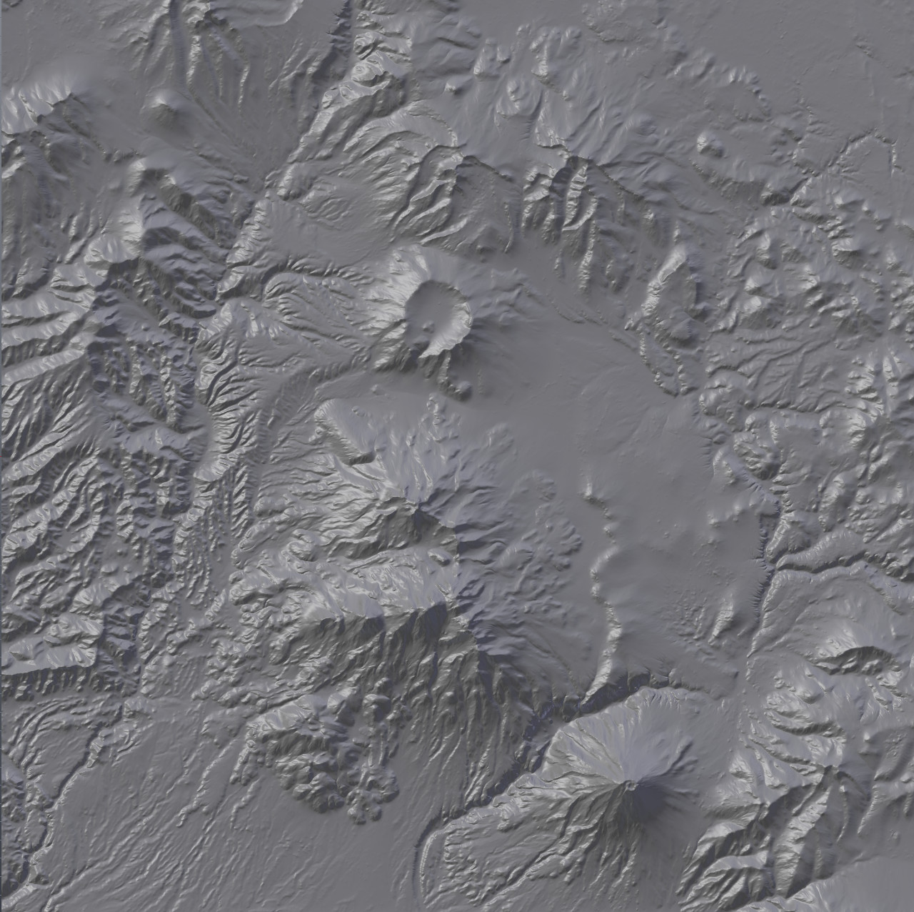
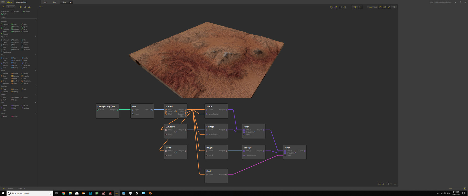
To do this I took some DEM data from Terrain Party of this region in Peru and fed it into Gaea EAP. I then used that to set it to a state that would allow it to be upscaled to 8k without issue.
I then set about colouring and generating a normal map.
Gaea's Synth node came in particularly handy here as I could just feed it the original ESA image and use that to select the various base colour ranges. Several masks were used to separate out the various mountains in the image, as each has a different colour ramp in the original image.
Then it was simply a matter of throwing it all into blender with a HDRI to light it.